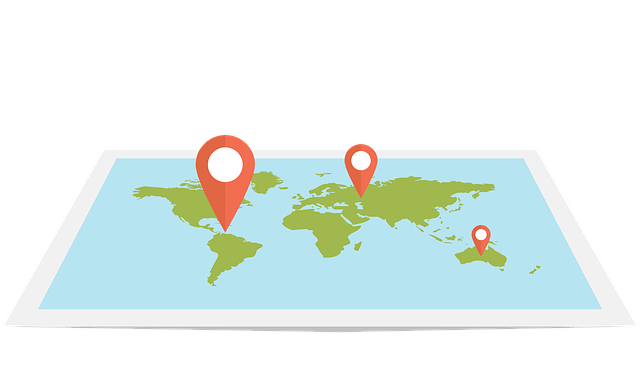

Geospatial technology is a broad term used to describe 21st-century devices that are used in the geographic mapping.
The definition of geospatial technology is a little complex, but while teaching kids the introduction of geospatial technology, it’s often defined as any modern tool that makes it easy to collect and interpret information about the earth’s surface.
Geospatial technology is actually the common name used to describe smart devices that are used in Remote Sensing (RS), Geographic Information systems (GIS), and Global Positioning Systems (GPS).
Geospatial tech enables scientists to acquire data about nature for analysis, simulations, visualization, and so on.
Geospatial technology is the use of information and data to specify a model of the Earth.
Geo-spatial data is used by computer applications for modeling, predicting, and analyzing any physical or geographical feature.
The main areas of focus of geo-spatial technology are land surveying, cartography, archaeology, tourism, archaeology, and environmental science.
In the past years, there has been a rapid growth in the industry and there has been a demand for trained Geospatial professionals who possess knowledge and experience in this field.
A geospatial tech application specialist can work as a consultant, project manager, product developer, architect, GIS consultant, GIS technician, and even a research analyst.
These positions require extensive training and ongoing education.
Many of these positions are found in the private sectors, but there has been a significant growth in the government sector working as a Geo-spatial Technology Programmer, Product Developer, and/or Consultant.
As we move into the modern age, technology has become increasingly important to people and businesses, to the point that it is no longer possible to survive without using it.
Geospatial information is crucial to the commercial and industrial sectors.
This is because it is used in everything from aerial photography to real estate planning, to transportation, to healthcare, to law enforcement, and many other aspects of our everyday lives.
The ability to view a certain area of your house or office building with the naked eye has brought about enhancement.
Before now, we would need to physically go and see the location of the buildings. But now, we have the ability to take digital pictures from satellite images or street maps.
With this new technology, we can view a specific area up close and clearly without having to go in and out of the building.
Geospatial applications like Google Maps use this type of information to provide accurate information to their users.
The accuracy of such information depends largely on the type of data being used and the resolution of the image.
There are a number of software programs out there that allow people to access and analyze such information. One such software program is Google Earth.
Google Earth is essentially a visualization interface allowing users to select a place of interest and then have the software to map the location.
The software has the ability to bring up aerial views of that particular place.
Then you can look at what the boundaries of the land look like and even zoom in and out to get a closer look at the area you are interested in.
As far as software programs are concerned, there are several companies that are providing Geospatial technology to the consumer market.
These software programs range in price from free to several hundred dollars. However, as you can see it is quite affordable.
Many smaller businesses have started using geo-spatial technology to generate their daily data needs.
If you are thinking about starting your own business with this type of application there is a lot of potential for success.


